|
|
| Line 81: |
Line 81: |
| | | | | |
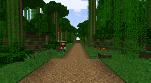
| |Gambit Road | | |Gambit Road |
| |0.5 km | | |0.4 km |
| |_Shako, Le_Gambit | | |_Shako, Le_Gambit |
| |- | | |- |
| Line 111: |
Line 111: |
| | | | | |
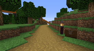
| |Kimandjax Road | | |Kimandjax Road |
| |0.3 km | | |0.2 km |
| |_Shako, Le_Gambit, kimandjax | | |_Shako, Le_Gambit, kimandjax |
| |- | | |- |
| Line 131: |
Line 131: |
| | | | | |
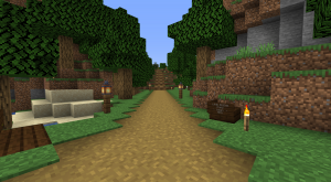
| |Mackaville Road | | |Mackaville Road |
| |0.3 km | | |0.4 km |
| |_Shako, Le_Gambit | | |_Shako, Le_Gambit |
| |- | | |- |
Revision as of 15:34, 23 September 2021
This is a list of roads and paths made by the Road and Horse Network (RHN) on the Survival 4 Husky Dogcraft Server. Paths on the Beagle server are generally built by the .Path Network Group as opposed to the RHN..
 TyrantrumGOD brought the idea of creating this list to the RHN during Survival 4 and made it the next day. While doing so, he made a spreadsheet with every road and path that has been made on Dogcraft Husky. If it were not for that spreadsheet, this page would most likely have taken days longer to produce.
List of roads and paths
| RHN Roads on Survival 4 Husky
|
| Picture
|
Name of Road/Path
|
Distance (KM/Kilometre)
|
Builder(s)
|
|
1st Street
|
0.2 km
|
_edo (initial version)
|
|
2nd Street
|
0.8 km
|
_edo (initial version)
|
|
Annex Street
|
0.3km
|
Cookies, _edo
|

|
Aria Road
|
0.5 km
|
Kinda_lost
|
|
Blues Beach Road
|
1.3 km
|
_Shako
|
|
|
Circumference Alley
|
Unfinished
|
_edo (initial version), _Shako (upgrades)
|
|
Desert Islands Road
|
2.0 km
|
_Shako, TyrantrumGOD, Elednor89, EddyTeach
|
|
Eagle Road
|
3.7 km
|
_Shako, ArchitectEagle
|
|
Edo Bridge Road
|
1.5 km
|
_edo, _Shako
|
|
|
Falcon Road
|
Unfinished
|
|

|
Flower Hills Road
|
2.0 km
|
_Shako
|
|
|
Forest Hall Road
|
0.5 km
|
_Shako, Le_Gambit
|
|
Gaia Road
|
1.9 km
|
_edo (inital version), _Shako (upgrades)
|
|
|
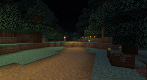
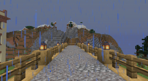
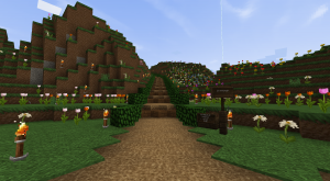
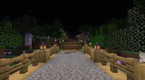
Gambit Road
|
0.4 km
|
_Shako, Le_Gambit
|
|
Gremjulegar Avenue
|
0.6 km
|
_Shako
|
|
Grove Avenue
|
0.6 km
|
Montenator, _Shako
|
|
Gulch Road
|
0.4 km
|
LoLoBooM4k, _Shako
|
|
HeavyDork Avenue
|
0.2 km
|
_Shako, HeavyDork
|
|
Ice Cap Road
|
0.2km
|
Montenator, _Shako
|
|
|
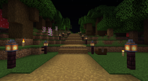
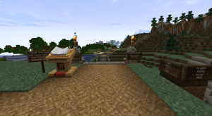
Kimandjax Road
|
0.2 km
|
_Shako, Le_Gambit, kimandjax
|
|
Land Bridge Road
|
> 4.7 km
|
_edo (initial version), _Shako (upgrades)
|
|
Lillian Avenue
|
0.2 km
|
Montenator
|
|
Lotus Isthmus Road
|
3.1 km
|
_Shako, FangsofAmber
|
|
|
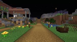
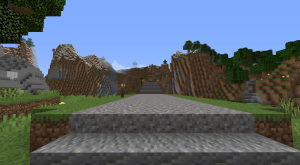
Mackaville Road
|
0.4 km
|
_Shako, Le_Gambit
|
|
M-Bay Road
|
0.8 km
|
Montenator
|
|
Mountain March Road
|
2.5 km
|
_Shako, TheWhiteTiger
|
|
Nimwald Road
|
2.6 km
|
Chriizsich, Karbloem, _Shako
|
|
Northline Street
|
0.2 km (unfinished)
|
_edo
|
|
Nossi Gap Road
|
1.7 km
|
_Shako, _edo
|
|
Oak Bay Road
|
3.1 km
|
_Shako
|
|
Oasis Road
|
0.5 km
|
TyrantrumGOD, StenLLuk,
Aeghu, _Shako
|
|
Old Town Road
|
0.3 km
|
StenLLuk
|
|
Ollie Road
|
0.3 km
|
OllieDR, _edo (upgrades)
|
|
|
Orion Road
|
0.2 km
|
_Shako, Le_Gambit
|
|
Overpass Avenue
|
0.7 km
|
_Shako (upgrades)
|
|
Oxbow Road
|
0.2 km
|
_Shako
|
|
Pinksville Road
|
0.9 km
|
_Shako, skyhook2415
|
|
Prosperity Road
|
1.8 km
|
expedtadam, _edo, _Shako
|
|
Rail Station Road
|
2.0 km
|
_Shako
|
|
|
Rainforest Road
|
0.3 km (unfinished)
|
Montenator
|
|
River Gorge Avenue
|
0.3 km
|
starr274 (?)
|
|
Shoreline Road
|
1.4 km
|
_edo, _Shako
|

|
Sikukuu Road
|
0.3 km
|
Montenator, _Shako
|
|
Smithers Avenue
|
0.3 km
|
_Shako
|
|
Spoons Neck Road
|
0.3 km
|
_Shako
|
|
Spruceland Road
|
0.5 km
|
_edo
|
|
Starripup Avenue
|
0.1 km
|
_Shako
|
|
Stone Exchange Road
|
2.5 km
|
_Shako
|
|
Takeshi Bridge Road
|
0.2 km
|
_edo
|
|
Takeshi Road
|
1.2 km
|
_edo
|
|
Vitruvius Road
|
1.2 km
|
_Shako
|
|
|
White Tiger Road
|
Unfinished
|
|
|
Roads and paths currently under construction
- Circumference Alley
- Falcon Road
- Northline Street
- Rainforest Road
- White Tiger Road
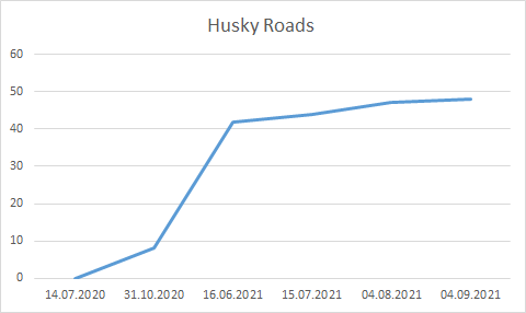
Construction progression chart
This is a graph by TyrantrumGOD of RHN road development over time, as of September 4th 2021.