List of RHN Roads and Paths (Survival 4)
From Dogcraft Wiki
mNo edit summary Tag: Visual edit: switched |
TyrantrumGOD (talk | contribs) (Added a new road) Tag: Visual edit |
||
| Line 186: | Line 186: | ||
|Spruceland Road | |Spruceland Road | ||
|0.5KM/Kilometre | |0.5KM/Kilometre | ||
| | |||
| | |||
|- | |||
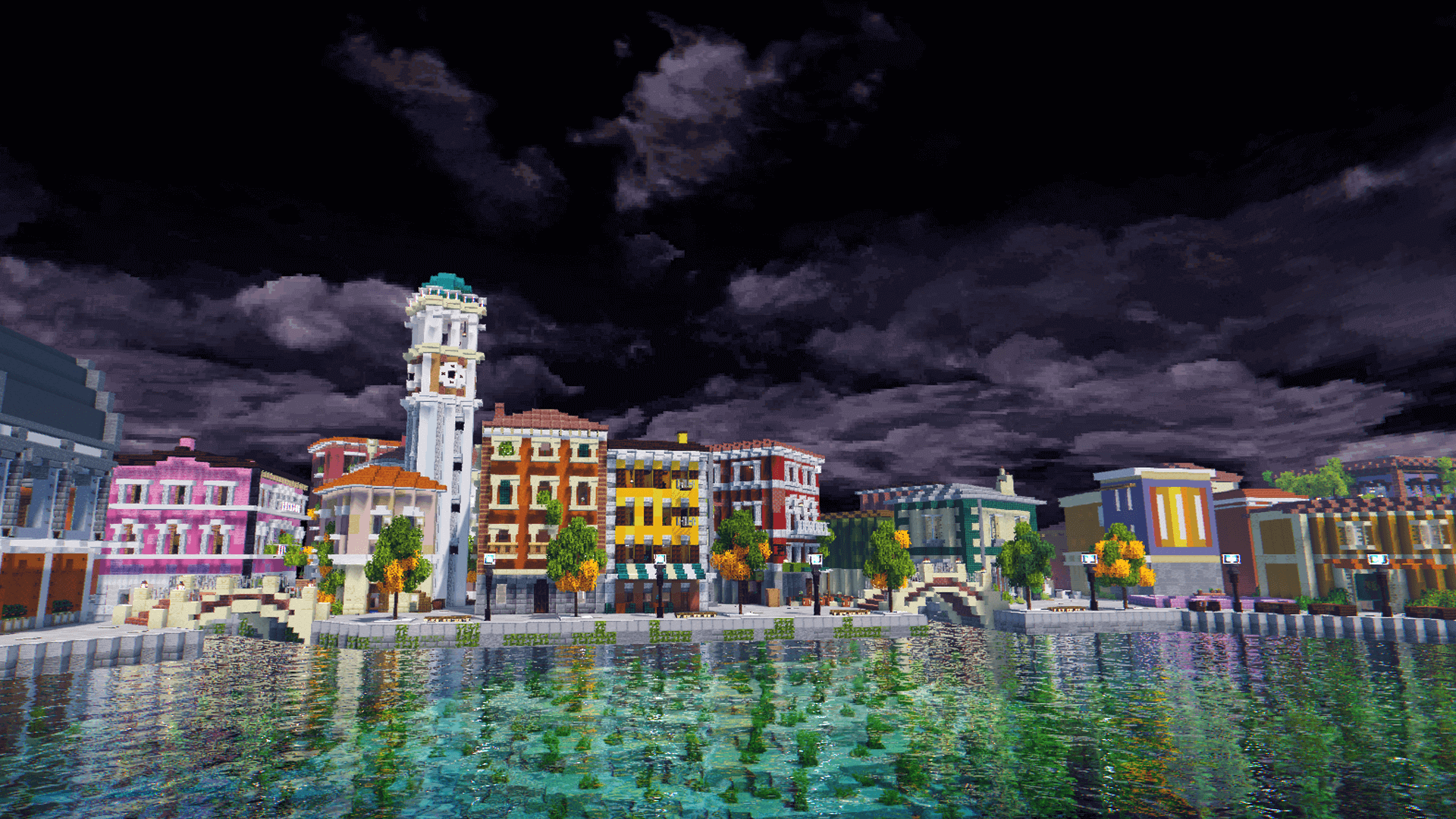
|[[File:Starripup Avenue.png|frameless]] | |||
|Starripup Avenue | |||
| | |||
| | | | ||
| | | | ||
Revision as of 21:36, 4 June 2021
This is a list of roads and Paths that is made by RHN on the Dogcraft Server. RHN has mainly been on Husky as another group has worked on Beagle. TyrantrumGOD was the person who brought this up to the RHN and the day after, he made it. While doing so, he made a spreadsheet that covers every road and path that has been made on Dogcraft. If it were not for that spreadsheet, this page would most likely have taken days to be what it is today.
Survival 4/Husky
This is the list on Survival 4 aka Husky and it goes from A-Z. It will also tell you the distance, who built it, when it started and when it ended.
| Picture | Name of Road/Path | Distance (KM/Kilometre) | Builder(s) | Date (Start to finish) |
|---|---|---|---|---|

|
1st Street | 0.2KM/Kilometre | ||

|
2nd Street | 0.8KM/Kilometre | ||

|
Annex Street | 0.3KM/Kilometre | ||

|
Aria Road | 0.5KM/Kilometre | ||

|
Eagle Road | 3.7KM/Kilometre | ||

|
Edo Bridge Road | 1.5KM/Kilometre | ||

|
Flower Hills Road | 2.0KM/Kilometre | ||

|
Gaia Road | 1.9KM/Kilometre | ||

|
Gremjulegar Avenue | 0.5KM/Kilometre | ||

|
Grove Avenue | 0.6KM/Kilometre | ||

|
Gulch Road | 0.4KM/Kilometre | ||

|
HeavyDork Avenue | 0.2KM/Kilometre | ||

|
Land Bridge Road | 3.0KM/Kilometre | ||

|
Lillian Avenue | 0.3KM/Kilometre | ||

|
Lotus Isthmus Road | 3.2KM/Kilometre | ||

|
M-Bay Road | 0.8KM/Kilometre | ||

|
Mountain March Road | 2.5KM/Kilometre | ||

|
Nimwald Road | 2.6KM/Kilometre | ||

|
Nossi Gap Road | 1.7KM/Kilometre | ||

|
Old Town Road | 0.4KM/Kilometre | ||

|
Ollie Road | 0.3KM/Kilometre | ||

|
Overpass Avenue | 0.7KM/Kilometre | ||

|
Pinksville Road | 0.8KM/Kilometre | ||

|
Prosperity Road | 1.8KM/Kilometre | ||

|
Rail Station Road | 2.0KM/Kilometre | ||

|
River Gorge Avenue | 0.3KM/Kilometre | ||

|
Shoreline Road | 1.4KM/Kilometre | ||

|
Sikukku Road | 0.5KM/Kilometre | ||

|
Smithers Avenue | 0.3KM/Kilometre | ||

|
Spruceland Road | 0.5KM/Kilometre | ||

|
Starripup Avenue | |||

|
Takeshi Bridge Road | 0.2KM/Kilometre | ||

|
Takeshi Road | 1.4KM/Kilometre | ||

|
Vitruvius Road | 1.4KM/Kilometre |
Under Construction List
- Circumference Alley
- Falcon Road
- Northline Street
- Oak Town Road (Name not final)
- Rainforest Road
- Stone Exchange Road
- White Tiger Road
This page was last modified on 4 June 2021, at 21:36. (4 months ago)