File
RHN KilometerMarkers OasisRoad.png
From Dogcraft Wiki
No edit summary |
(No difference)
|
Latest revision as of 04:00, 19 September 2021
RHN kilometer markers at the intersection of Shoreline and Oasis Roads.
File history
Click on a date/time to view the file as it appeared at that time.
| Date/Time | Thumbnail | Dimensions | User | Comment | |
|---|---|---|---|---|---|
| current | 04:00, 19 September 2021 | 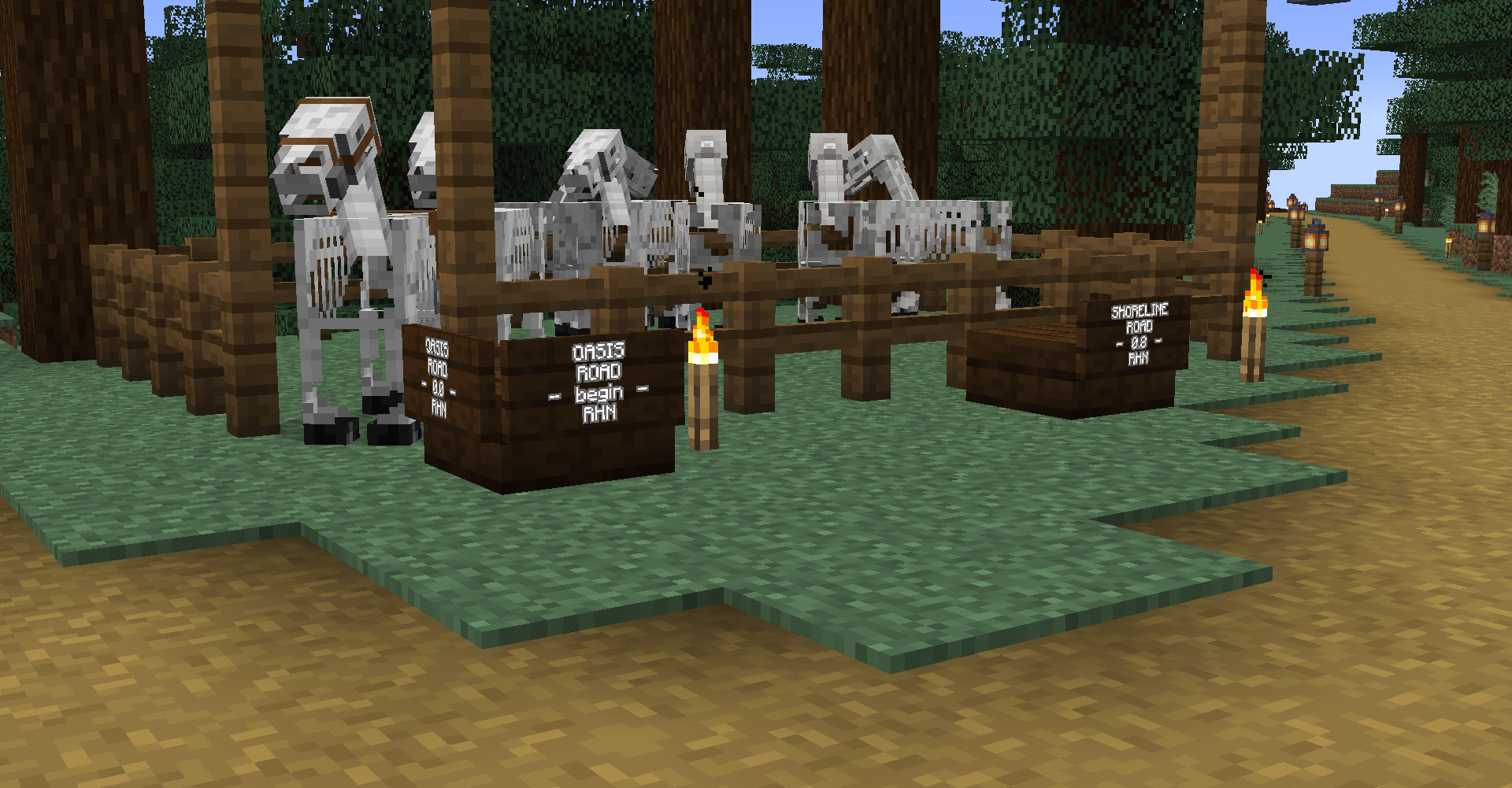 | 1,920 × 1,001 (877 KB) | Shako (talk | contribs) |
You cannot overwrite this file.
File usage
The following page uses this file:
