List of RHN Roads and Paths (Survival 4)
From Dogcraft Wiki
TyrantrumGOD (talk | contribs) (added distance) Tag: Visual edit |
TyrantrumGOD (talk | contribs) (Moved roads to Under Construction) Tag: Visual edit |
||
| Line 31: | Line 31: | ||
|Aria Road | |Aria Road | ||
|0.5KM/Kilometre | |0.5KM/Kilometre | ||
| | | | ||
| | | | ||
| Line 49: | Line 43: | ||
|Edo Bridge Road | |Edo Bridge Road | ||
|1.5KM/Kilometre | |1.5KM/Kilometre | ||
| | | | ||
| | | | ||
| Line 127: | Line 115: | ||
|Nimwald Road | |Nimwald Road | ||
|2.6KM/Kilometre | |2.6KM/Kilometre | ||
| | | | ||
| | | | ||
| Line 205: | Line 187: | ||
|Spruceland Road | |Spruceland Road | ||
|0.5KM/Kilometre | |0.5KM/Kilometre | ||
| | | | ||
| | | | ||
| Line 235: | Line 211: | ||
==Under Construction List== | ==Under Construction List== | ||
*Circumference Alley | |||
*Falcon Road | |||
*Northline Street | |||
*Oak Town Road (Name not final) | *Oak Town Road (Name not final) | ||
*Rainforest Road | *Rainforest Road | ||
*Stone Exchange Road | |||
*White Tiger Road | *White Tiger Road | ||
Revision as of 18:06, 4 June 2021
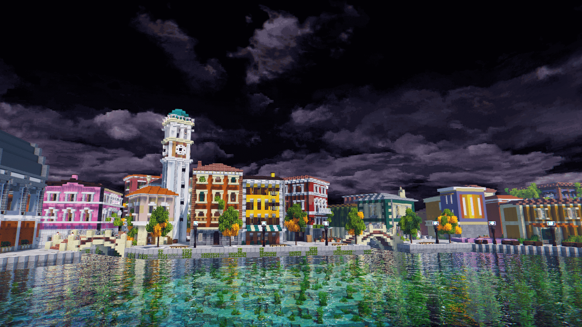
This is a list of roads and Paths that is made by RHN on the Dogcraft Server. RHN has mainly been on Husky as another group has worked on Beagle.
Survival 4/Husky
This is the list on Survival 4 aka Husky and it goes from A-Z. It will also tell you the distance, who built it, when it started and when it ended.
| Picture | Name of Road/Path | Distance (KM/Kilometre) | Builder(s) | Date (Start to finish) |
|---|---|---|---|---|

|
1st Street | 0.2KM/Kilometre | ||

|
2nd Street | 0.8KM/Kilometre | ||

|
Annex Street | 0.3KM/Kilometre | ||

|
Aria Road | 0.5KM/Kilometre | ||

|
Eagle Road | 3.7KM/Kilometre | ||

|
Edo Bridge Road | 1.5KM/Kilometre | ||

|
Flower Hills Road | 2.0KM/Kilometre | ||

|
Gaia Road | 1.9KM/Kilometre | ||

|
Gremjulegar Avenue | 0.5KM/Kilometre | ||

|
Grove Avenue | 0.6KM/Kilometre | ||

|
Gulch Road | 0.4KM/Kilometre | ||

|
HeavyDork Avenue | 0.2KM/Kilometre | ||

|
Land Bridge Road | 3.0KM/Kilometre | ||

|
Lillian Avenue | 0.3KM/Kilometre | ||

|
Lotus Isthmus Road | 3.2KM/Kilometre | ||

|
M-Bay Road | 0.8KM/Kilometre | ||

|
Mountain March Road | 2.5KM/Kilometre | ||

|
Nimwald Road | 2.6KM/Kilometre | ||

|
Nossi Gap Road | 1.7KM/Kilometre | ||

|
Old Town Road | 0.4KM/Kilometre | ||

|
Ollie Road | 0.3KM/Kilometre | ||

|
Overpass Avenue | 0.7KM/Kilometre | ||

|
Pinksville Road | 0.8KM/Kilometre | ||

|
Prosperity Road | 1.8KM/Kilometre | ||

|
Rail Station Road | 2.0KM/Kilometre | ||

|
River Gorge Avenue | 0.3KM/Kilometre | ||

|
Shoreline Road | 1.4KM/Kilometre | ||

|
Sikukku Road | 0.5KM/Kilometre | ||

|
Smithers Avenue | 0.3KM/Kilometre | ||

|
Spruceland Road | 0.5KM/Kilometre | ||

|
Takeshi Bridge Road | 0.2KM/Kilometre | ||

|
Takeshi Road | 1.4KM/Kilometre | ||

|
Vitruvius Road | 1.4KM/Kilometre |
Under Construction List
- Circumference Alley
- Falcon Road
- Northline Street
- Oak Town Road (Name not final)
- Rainforest Road
- Stone Exchange Road
- White Tiger Road
This page was last modified on 4 June 2021, at 18:06. (5 months ago)