Template
Collapsible Map
From Dogcraft Wiki
No edit summary |
No edit summary |
||
| Line 2: | Line 2: | ||
<templatestyles src="Template:Collapsible_Map/styles.css"/> | <templatestyles src="Template:Collapsible_Map/styles.css"/> | ||
<div id="collapsible-container" class="toccolours mw-collapsible {{#ifeq:{{{collapsed|}}}|true|mw-collapsed}}"> | <div id="collapsible-container" class="toccolours mw-collapsible {{#ifeq:{{{collapsed|}}}|true|mw-collapsed}}" {{#if:{{{width|}}}|style="max-width: {{{width|}}};"}}> | ||
<div id="collapsible-container-header" style="text-align: center;"><i class="fa-solid fa-chevron-down" style="color: inherit;"></i><i class="fa-solid fa-chevron-up" style="color: inherit;"></i> {{{name|Map}}}</div> | <div id="collapsible-container-header" style="text-align: center;"><i class="fa-solid fa-chevron-down" style="color: inherit;"></i><i class="fa-solid fa-chevron-up" style="color: inherit;"></i> {{{name|Map}}}</div> | ||
<div class="mw-collapsible-content"> | <div class="mw-collapsible-content"> | ||
| Line 54: | Line 54: | ||
<noinclude> | <noinclude> | ||
{{Collapsible Map | {{Collapsible Map | ||
|name = East Station | |name = East Station (Scale 1) | ||
|world = sheltie | |world = sheltie | ||
|xCoord = 1434 | |xCoord = 1434 | ||
| Line 63: | Line 63: | ||
{{Collapsible Map | {{Collapsible Map | ||
|name = East Station | |name = East Station (Scale 0) | ||
|world = sheltie | |world = sheltie | ||
|xCoord = 1434 | |xCoord = 1434 | ||
| Line 108: | Line 108: | ||
"default": "0", | "default": "0", | ||
"description": "The scale of the map. 0 - 500x500 block map, 1 - 1500x1500 map" | "description": "The scale of the map. 0 - 500x500 block map, 1 - 1500x1500 map" | ||
}, | |||
"width": { | |||
"type": "string", | |||
"default": "500px", | |||
"description": "The max width of the map on a wiki page. This is a CSS value. To make the map cover the entire width of the page, set this to '100%'." | |||
} | } | ||
}, | }, | ||
| Line 118: | Line 123: | ||
"collapsed", | "collapsed", | ||
"showCoords", | "showCoords", | ||
"scale" | "scale", | ||
"width" | |||
] | ] | ||
} | } | ||
</templatedata> | </templatedata> | ||
</noinclude> | </noinclude> | ||
Revision as of 11:53, 27 March 2024
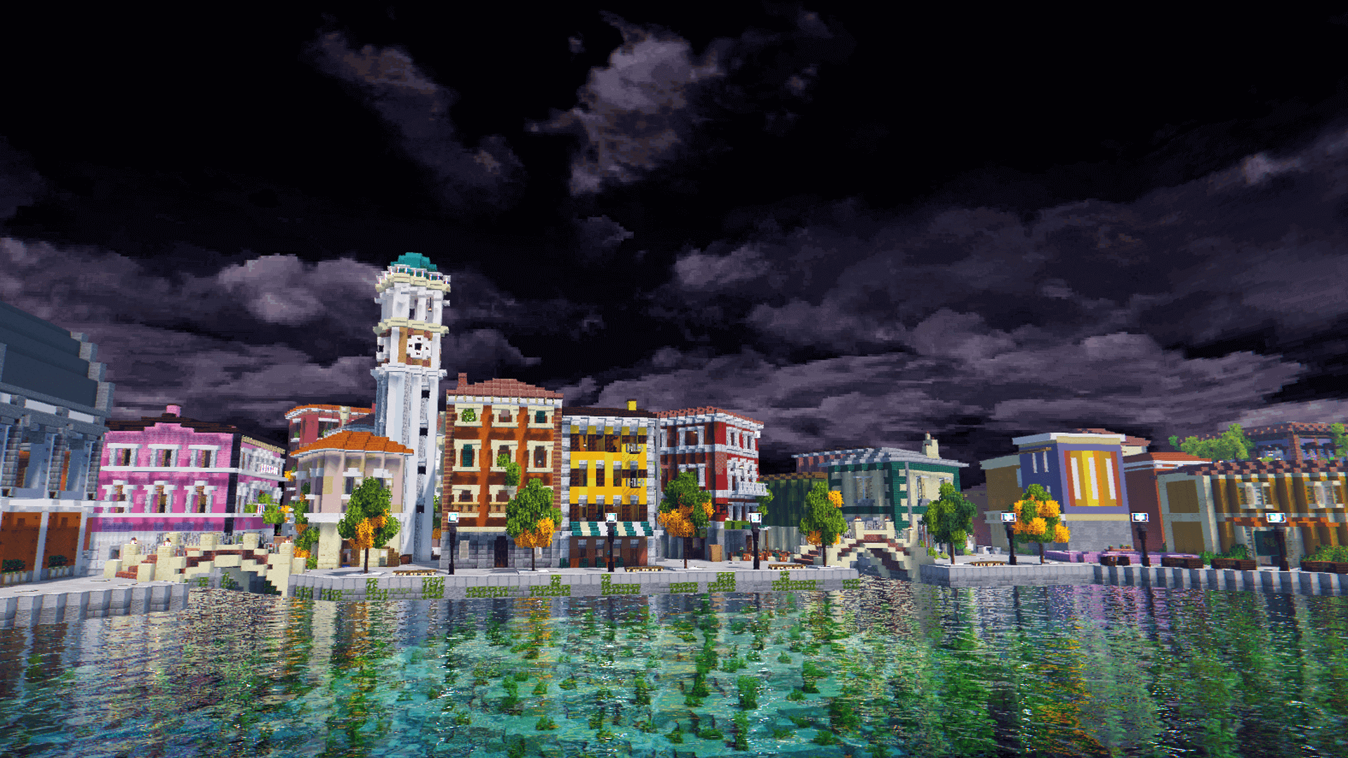
East Station (Scale 1)
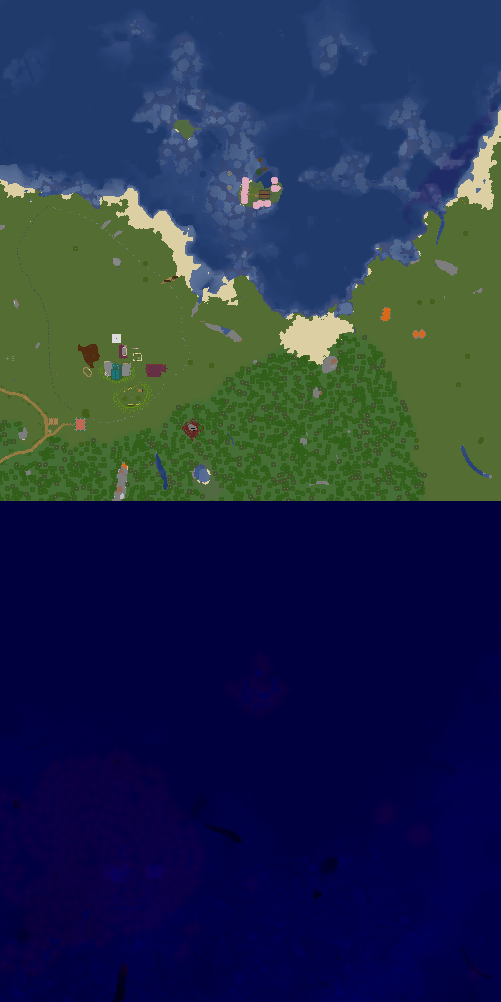
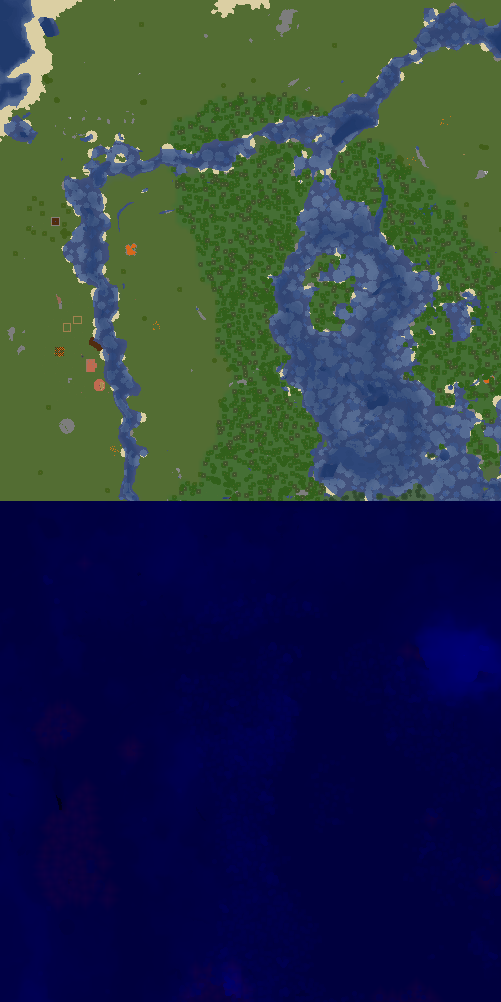
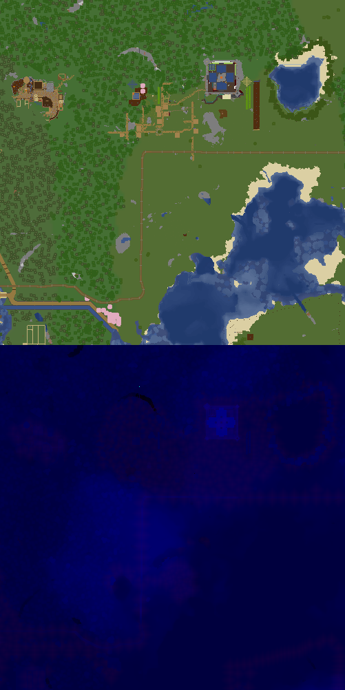
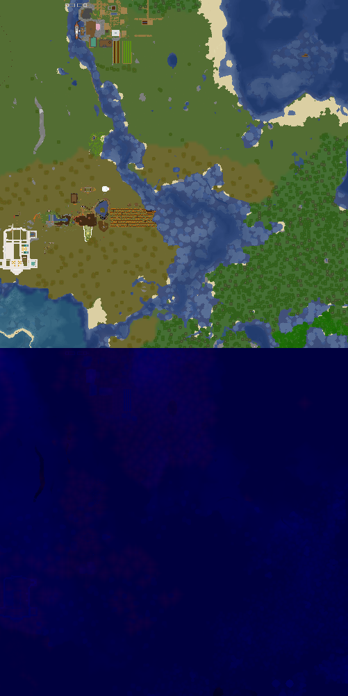
X:1434, Z:-294 on Sheltie
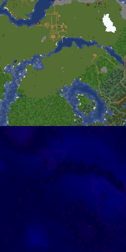
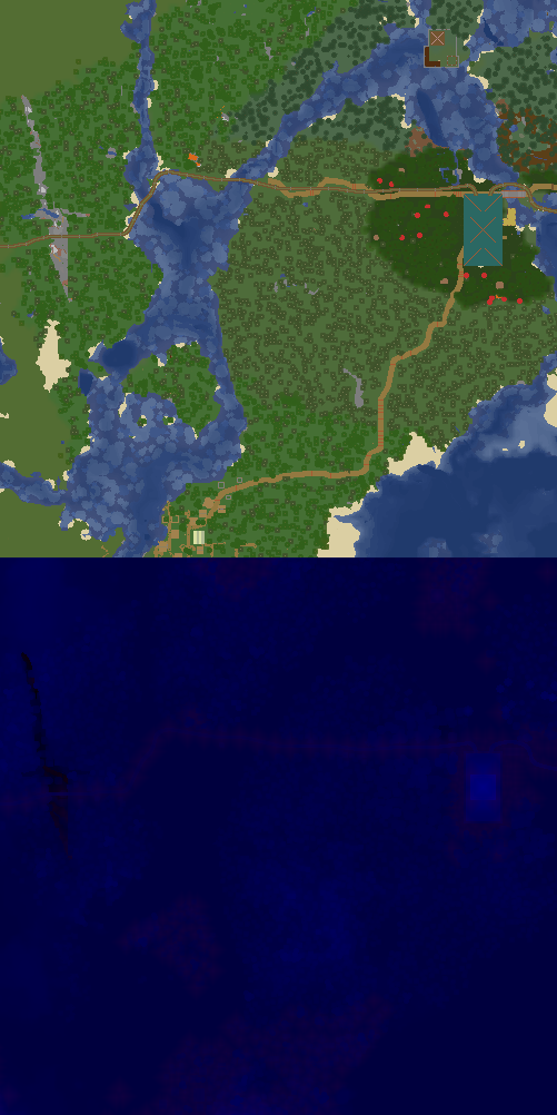
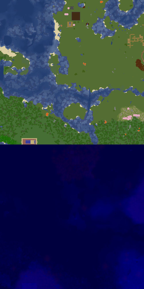
East Station (Scale 0)
X:1434, Z:-294 on Sheltie
Map Location, shows a part of the map with the given location marked on it
| Parameter | Description | Type | Status | |
|---|---|---|---|---|
| name | name | Name of the location. Used only in the heading
| String | optional |
| world | world | The world the location is on. This needs to match the world name used on the dynmap!
| String | optional |
| xCoord | xCoord | The x coordinate of the location
| Number | optional |
| zCoord | zCoord | The z coordinate of the location
| Number | optional |
| collapsed | collapsed | If true, the map is collapsed by default, otherwise it is expanded by default
| Boolean | optional |
| showCoords | showCoords | If true, will display the coordinates and world below the map
| Boolean | optional |
| scale | scale | The scale of the map. 0 - 500x500 block map, 1 - 1500x1500 map
| Number | optional |
| width | width | The max width of the map on a wiki page. This is a CSS value. To make the map cover the entire width of the page, set this to '100%'.
| String | optional |
This page was last modified on 27 March 2024, at 11:53. (30 days ago)