Template
Collapsible Map
From Dogcraft Wiki
No edit summary |
No edit summary |
||
| Line 39: | Line 39: | ||
"name": { | "name": { | ||
"type": "string", | "type": "string", | ||
"default": "Location" | "default": "Location", | ||
"description": "Name of the location. Used only in the heading" | |||
}, | }, | ||
"world": { | "world": { | ||
"default": "sheltie", | "default": "sheltie", | ||
"type": "string" | "type": "string", | ||
"description": "The world the location is on. This needs to match the world name used on the dynmap!" | |||
}, | }, | ||
"xCoord": { | "xCoord": { | ||
Revision as of 16:02, 9 February 2024
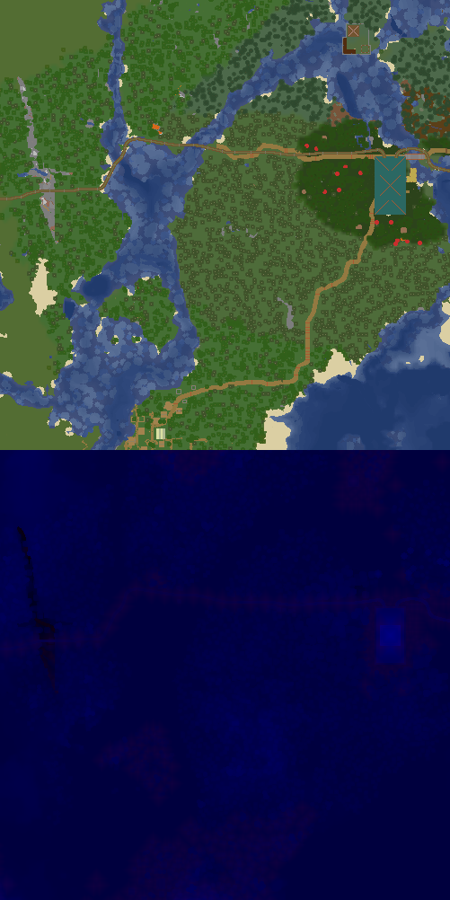
East Station on Sheltie
X:1434, Z:-294 on Sheltie
Map Location, shows a part of the map with the given location marked on it
| Parameter | Description | Type | Status | |
|---|---|---|---|---|
| name | name | Name of the location. Used only in the heading
| String | optional |
| world | world | The world the location is on. This needs to match the world name used on the dynmap!
| String | optional |
| xCoord | xCoord | The x coordinate of the location
| Number | optional |
| zCoord | zCoord | The z coordinate of the location
| Number | optional |
| collapsed | collapsed | If true, the map is collapsed by default, otherwise it is expanded by default
| Boolean | optional |
This page was last modified on 9 February 2024, at 16:02. (12 months ago)

