Template
Collapsible Map
From Dogcraft Wiki
(change from all template to using the new ServerMap Module - this allows for arbitrary scale values.) |
(added better input validation) |
||
| Line 2: | Line 2: | ||
<templatestyles src="Template:Collapsible_Map/styles.css"/> | <templatestyles src="Template:Collapsible_Map/styles.css"/> | ||
<div id="collapsible-container" class="toccolours mw-collapsible {{#ifeq:{{{collapsed|}}}|true|mw-collapsed}}" {{#if:{{{width|}}}|style="max-width: {{{width|}}};"}}> | {{#if:{{{xCoord|}}}|{{#if:{{{zCoord|}}}|{{#if:{{{world|}}}|<div id="collapsible-container" class="toccolours mw-collapsible {{#ifeq:{{{collapsed|}}}|true|mw-collapsed}}" {{#if:{{{width|}}}|style="max-width: {{{width|}}};"}}> | ||
<div id="collapsible-container-header" style="text-align: center;"><i class="fa-solid fa-chevron-down" style="color: inherit;"></i><i class="fa-solid fa-chevron-up" style="color: inherit;"></i> {{{name|Map}}}</div> | <div id="collapsible-container-header" style="text-align: center;"><i class="fa-solid fa-chevron-down" style="color: inherit;"></i><i class="fa-solid fa-chevron-up" style="color: inherit;"></i> {{{name|Map}}}</div> | ||
<div class="mw-collapsible-content"> | <div class="mw-collapsible-content"> | ||
| Line 8: | Line 8: | ||
{{#ifeq:{{{showCoords|}}}|true|<p id="coord-text">X:{{{xCoord|0}}}, Z:{{{zCoord|0}}} on {{ucfirst:{{{world|sheltie}}}}}</p>}} | {{#ifeq:{{{showCoords|}}}|true|<p id="coord-text">X:{{{xCoord|0}}}, Z:{{{zCoord|0}}} on {{ucfirst:{{{world|sheltie}}}}}</p>}} | ||
</div> | </div> | ||
</div> | </div>}}}}}} | ||
</includeonly> | </includeonly> | ||
<noinclude> | <noinclude> | ||
Latest revision as of 23:03, 25 January 2025
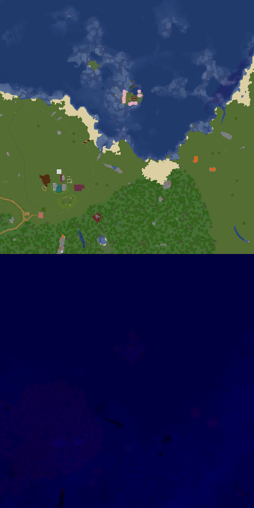
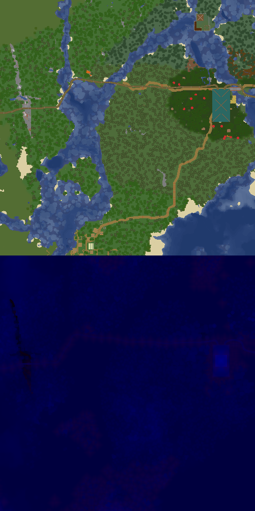
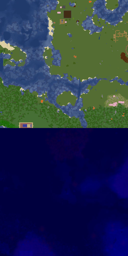
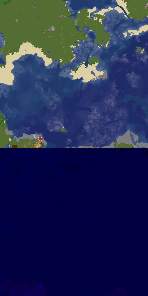
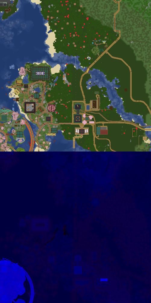
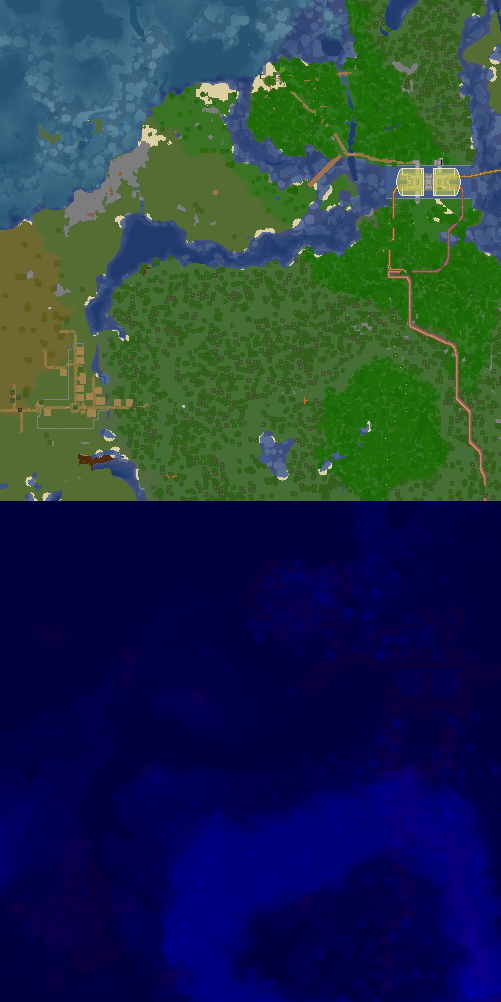
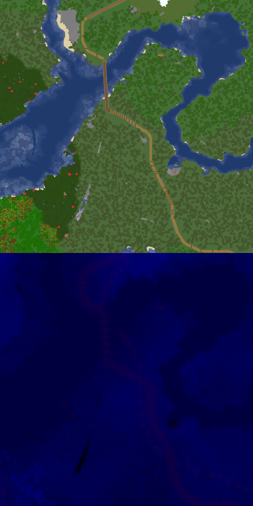
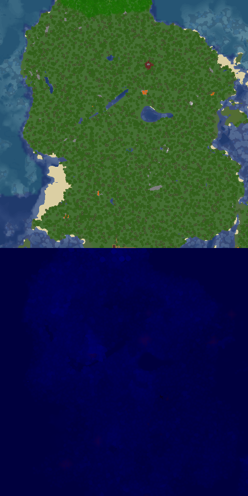
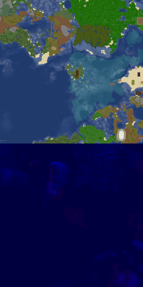
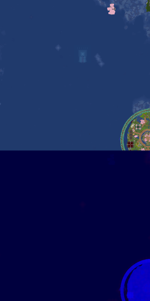
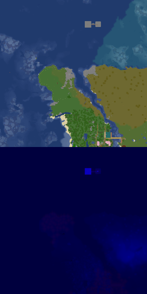
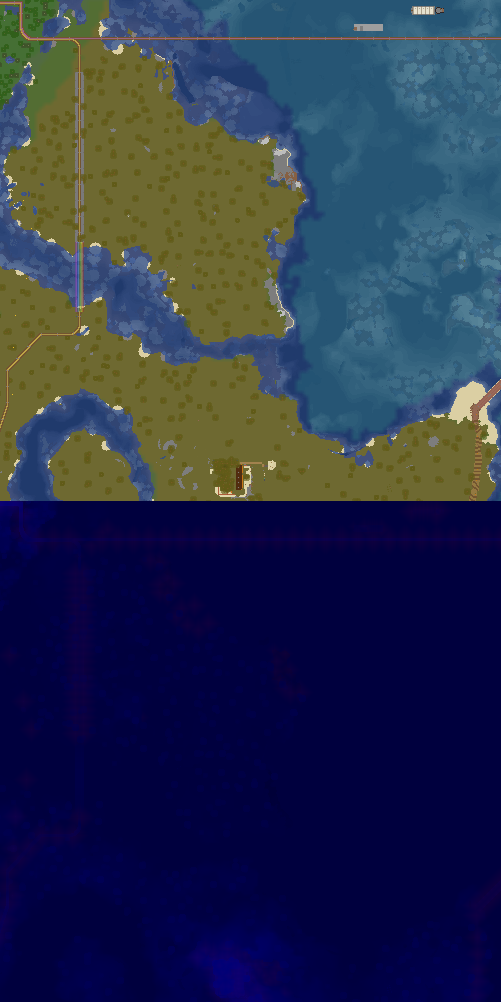
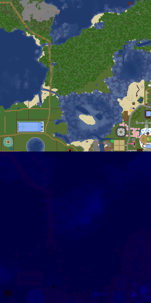
X:1434, Z:-294 on Sheltie
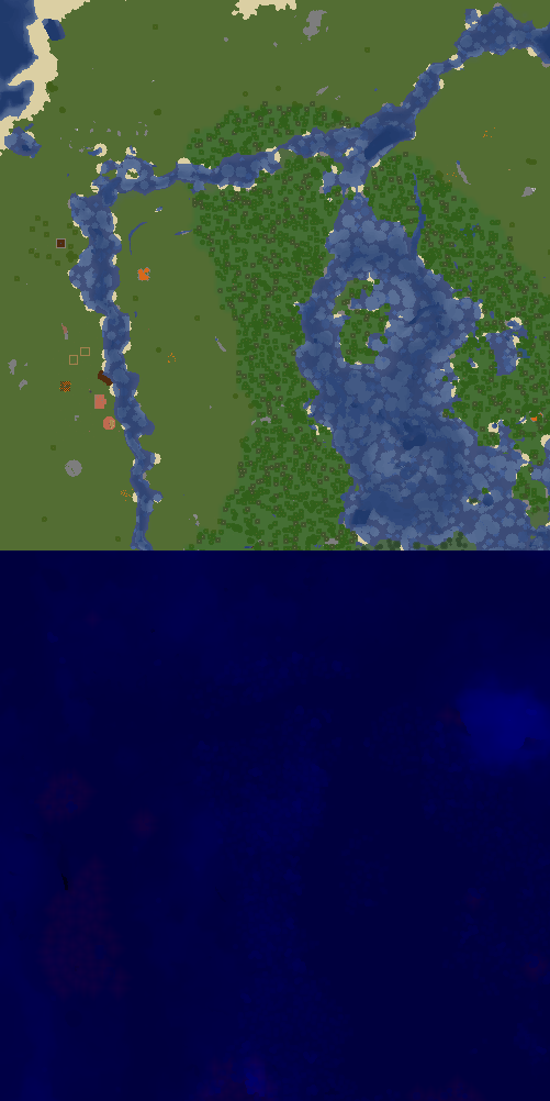
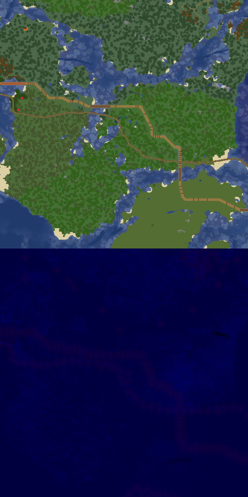
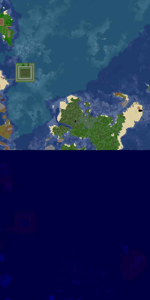
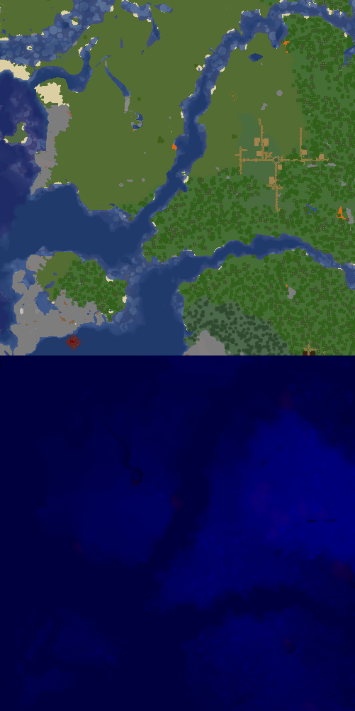
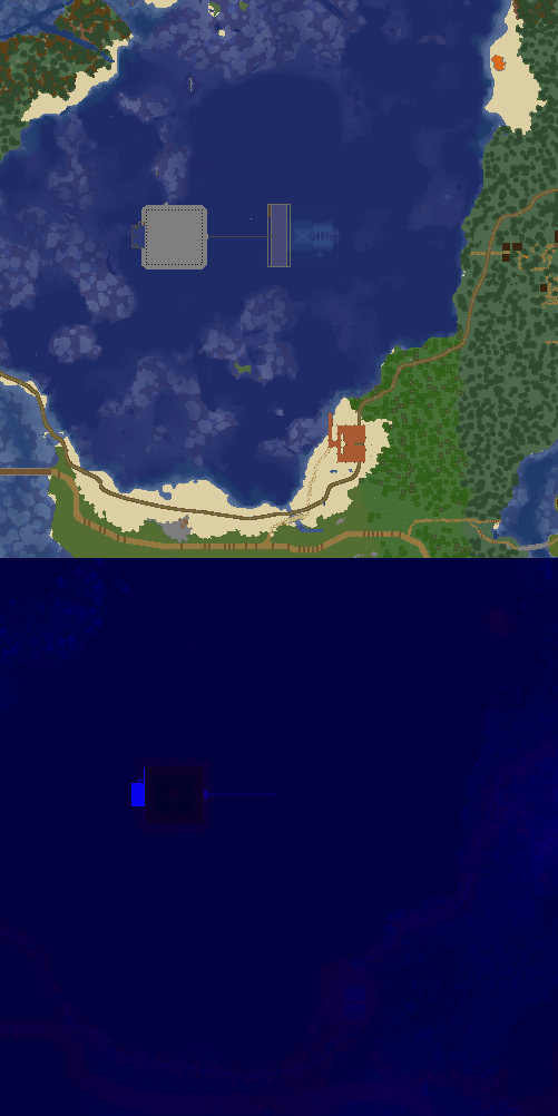
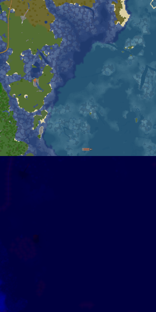
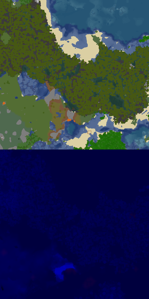
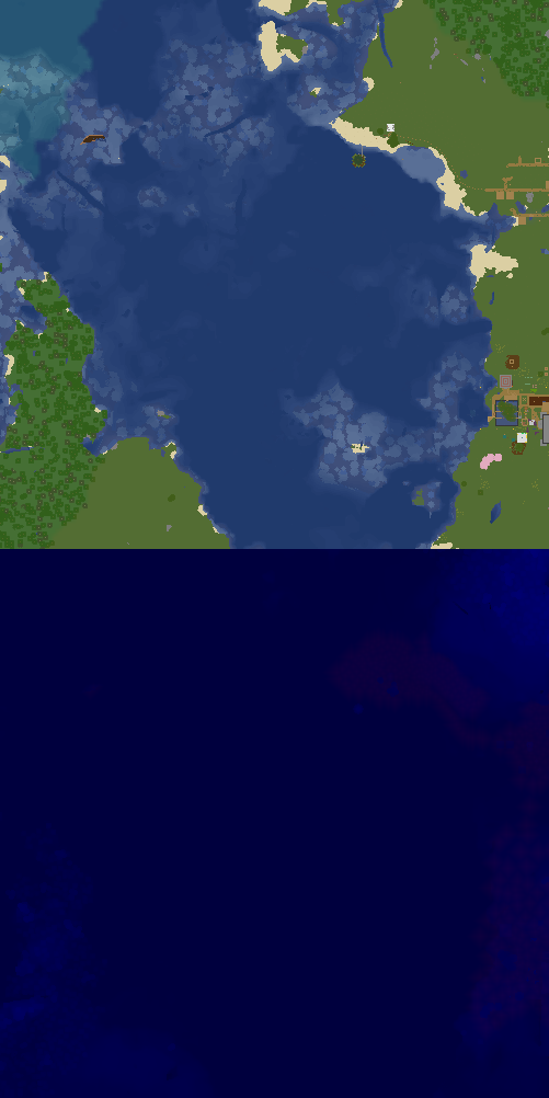
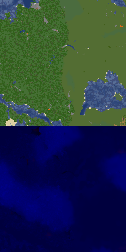
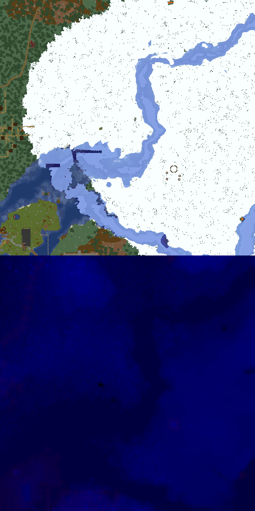
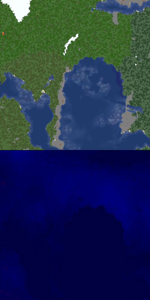
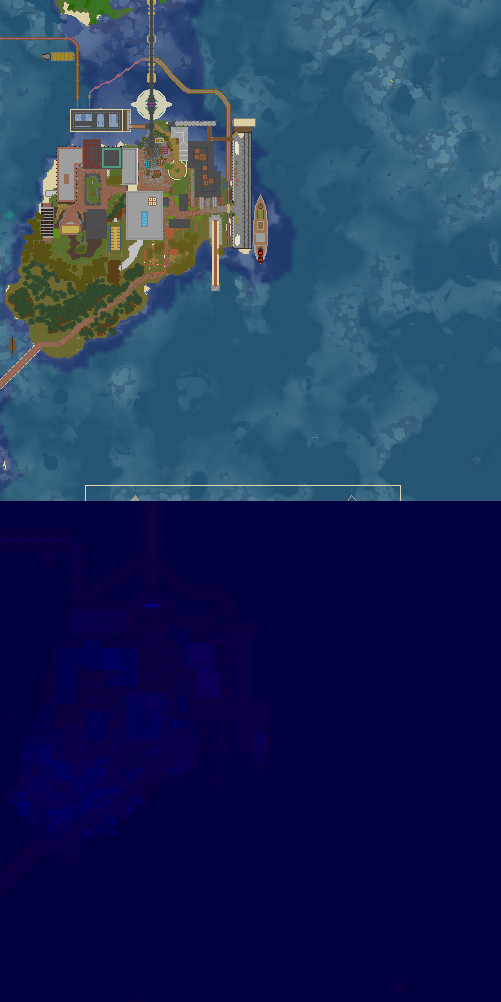
X:1434, Z:-294 on Sheltie
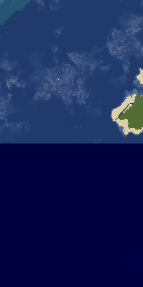
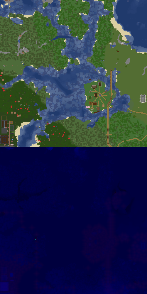
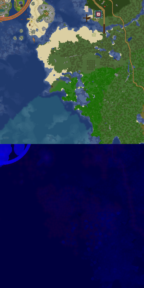
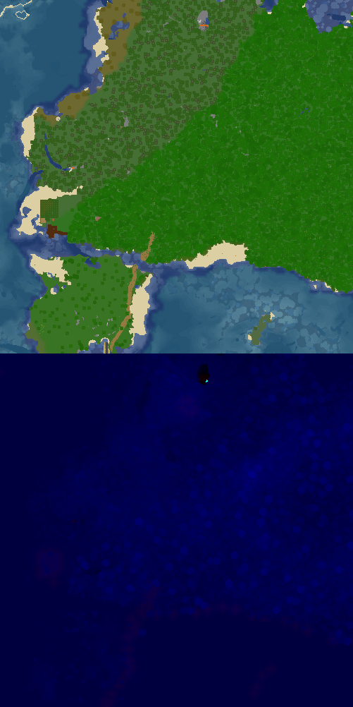
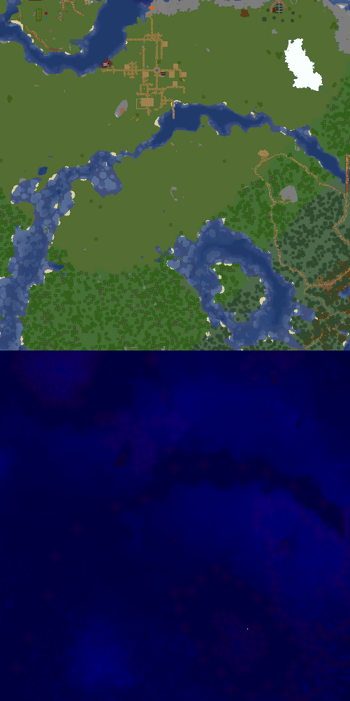
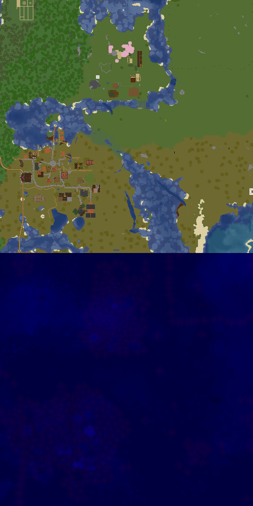
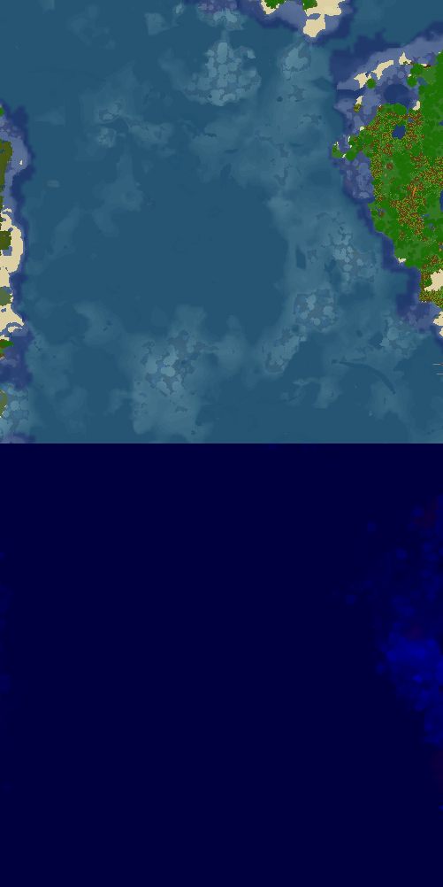
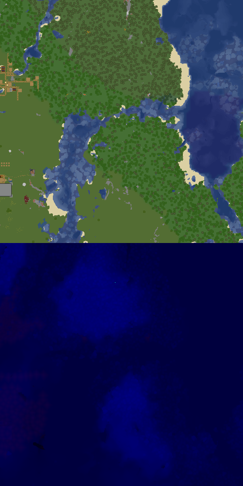
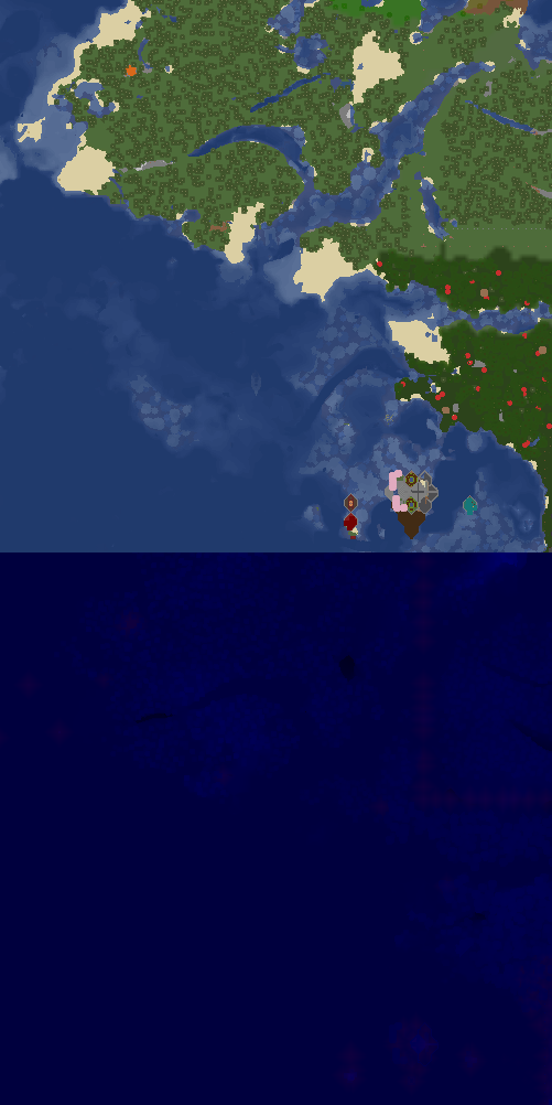
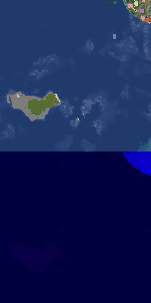
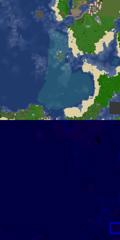
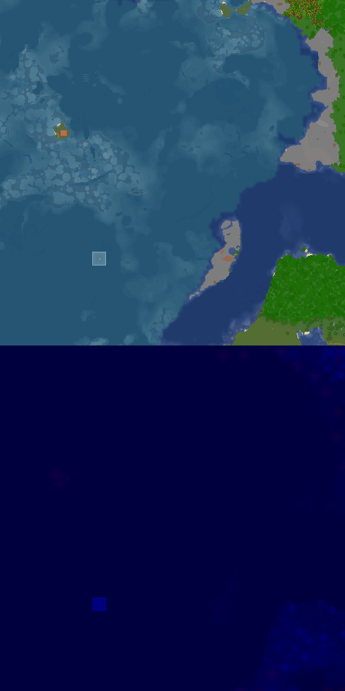
X:1434, Z:-294 on Sheltie
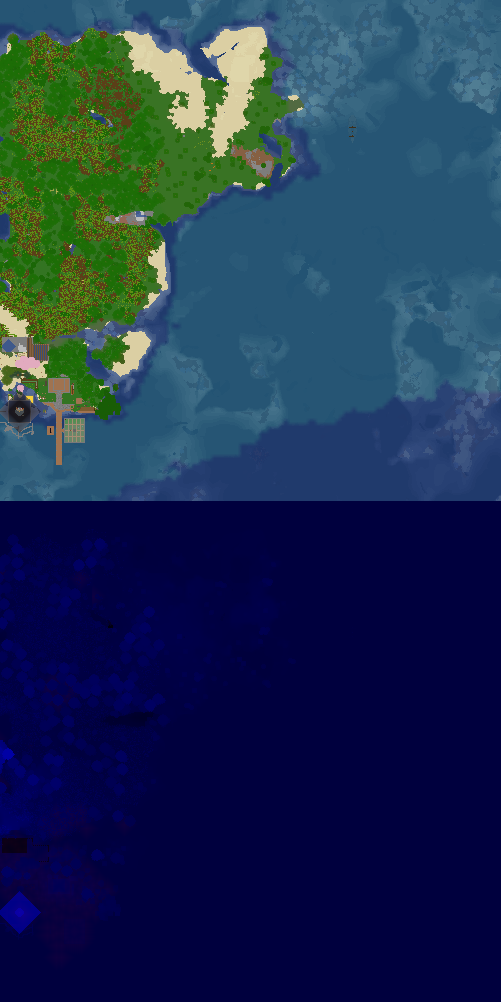
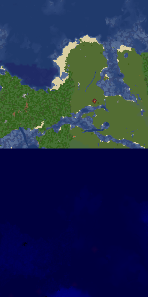
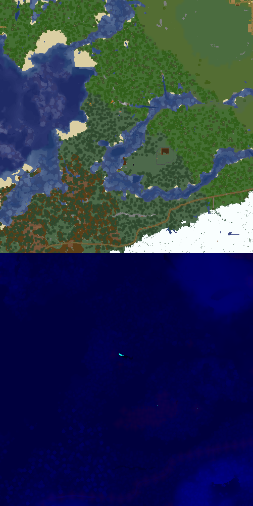
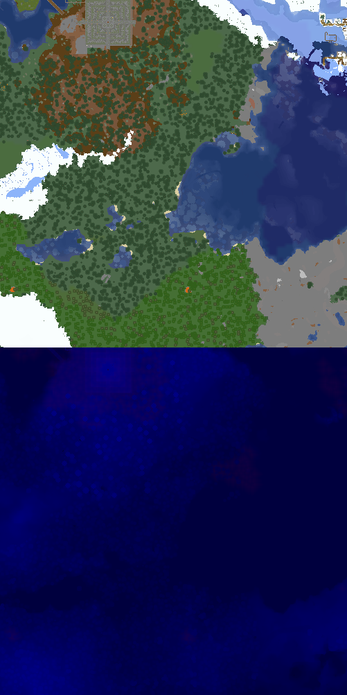
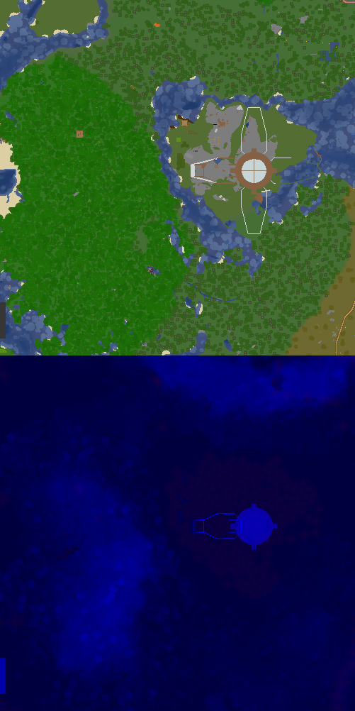
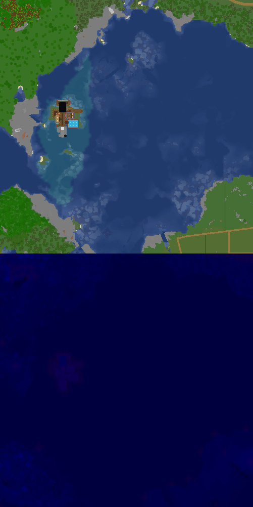
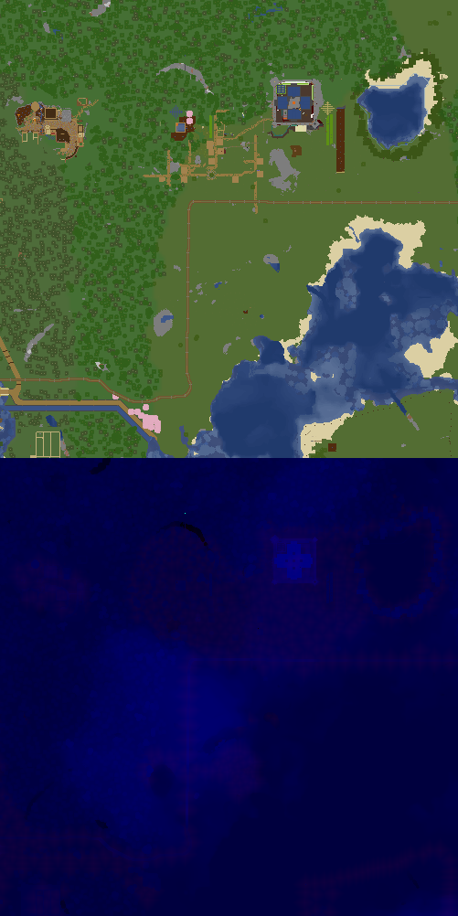
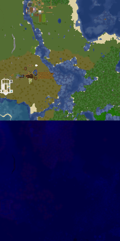
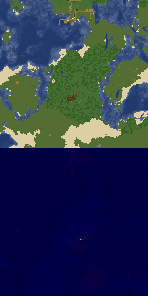
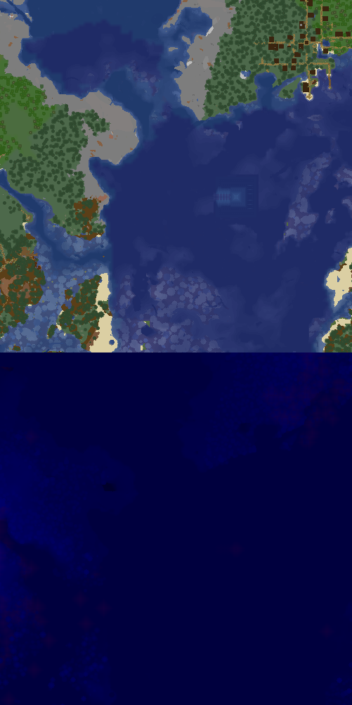
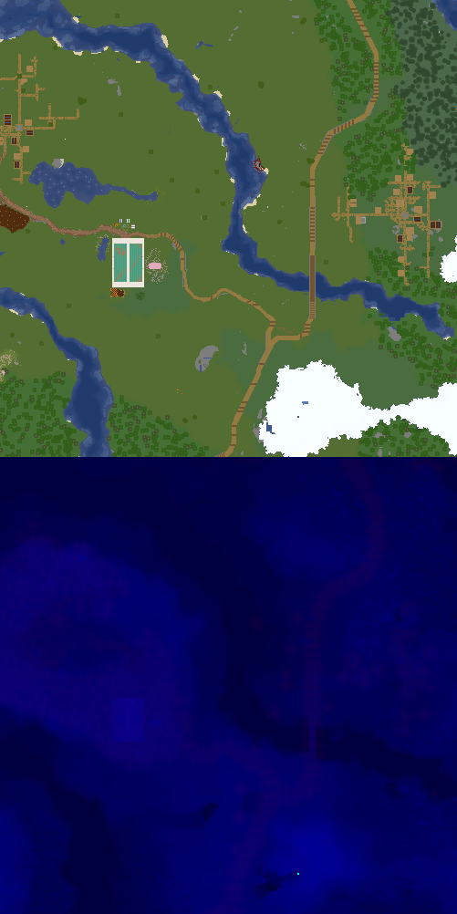
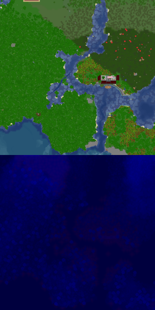
X:1434, Z:-294 on Sheltie
Map Location, shows a part of the map with the given location marked on it
| Parameter | Description | Type | Status | |
|---|---|---|---|---|
| name | name | Name of the location. Used only in the heading
| String | optional |
| world | world | The world the location is on. This needs to match the world name used on the dynmap!
| String | optional |
| xCoord | xCoord | The x coordinate of the location
| Number | optional |
| zCoord | zCoord | The z coordinate of the location
| Number | optional |
| collapsed | collapsed | If true, the map is collapsed by default, otherwise it is expanded by default
| Boolean | optional |
| showCoords | showCoords | If true, will display the coordinates and world below the map
| Boolean | optional |
| scale | scale | The scale of the map. 0 - 500x500 block map, 1 - 1500x1500 map, 2 - 2500x2500 map, 3 - 3500x3500 map, etc
| Number | optional |
| width | width | The max width of the map on a wiki page. This is a CSS value. To make the map cover the entire width of the page, set this to '100%'. The map is always square and the height will automatically adjust to be equal to the width.
| String | optional |
| overlay | overlay | Optional html overlay, which will be placed in a container div which is absolutely positioned and can overlay the map. | String | optional |
